Pensacola Bay is one of the most scenic stretches of water on the Florida Panhandle, but it also wraps around Naval Air Station (NAS) Pensacola, the "Cradle of Naval Aviation." That means recreational boaters share these waters with active naval operations, security patrols, and controlled airspace. Cross the wrong line and you are no longer dealing with a state marine-patrol warning: you are dealing with federal security rules enforced by the U.S. Coast Guard and Navy.
This guide explains exactly where the restricted and prohibited zones are, how the naval vessel protection zone works, how to read the charts and notices that keep you legal, what to do if a patrol boat hails you, and how to plan a safe route so you can enjoy Pensacola Bay without ever having a bad day. If you are new to these waters or planning your first trip, pairing this article with a Florida boating safety course will give you the navigation foundation the bay demands.
Why NAS Pensacola Demands Extra Caution
Most Florida boating hazards are natural or regulatory: shoals, weather, manatee zones, no-wake areas. Near NAS Pensacola you add a third category — national-security restrictions that are set by federal authority and can change on short notice.
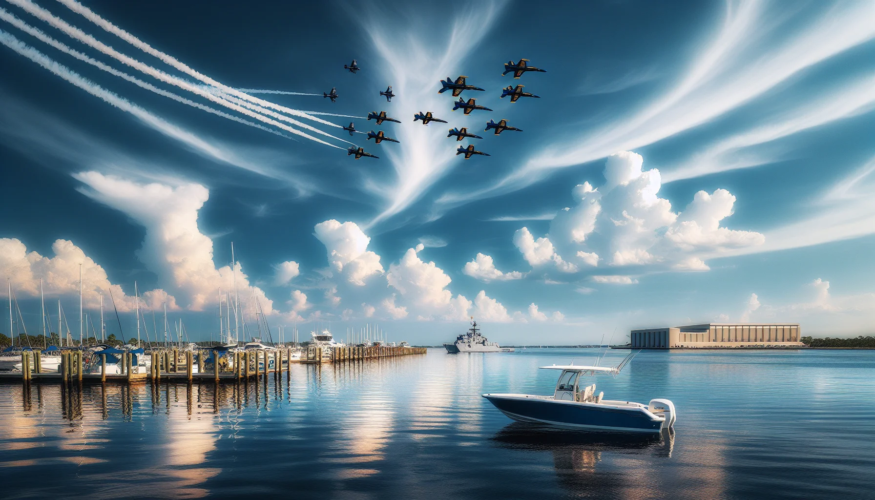
The installation and its tenant commands run daily flight training, and the base is the home of the Blue Angels flight demonstration squadron. Around the waterfront you will find areas that support fueling, moorings, and sensitive operations. Federal agencies designate zones on the water to protect those assets, and the enforcement posture is very different from a typical fishing-license check.
A few things make this area genuinely unique:
- Restrictions are federal, not just state. A violation here can be handled as a federal offense, not a state citation, and can involve boarding, detention, and vessel seizure.
- Some restrictions are permanent; others are temporary. Exercises, heightened force-protection conditions, and special events can close water with little advance warning.
- "I didn't know" is not a defense. As the operator, you are responsible for knowing the current status of the waters you enter. That is exactly why reading charts and notices before you launch is not optional.
The good news: the boundaries are well documented, the safe routes are clearly marked, and thousands of recreational boaters transit Pensacola Bay safely every week by simply respecting the lines on the chart.
Understanding Naval Vessel Protection Zones
The single most important rule to memorize is the Naval Vessel Protection Zone (NVPZ), a federal rule enforced by the Coast Guard that applies wherever large U.S. naval vessels are present — including in and around Pensacola.
Here is how it works in practice:
- A 500-yard regulated area surrounds a covered naval vessel. Within that zone you must operate at the minimum speed necessary to maintain steerage and proceed as directed by the Navy or Coast Guard.
- Within 100 yards of a covered naval vessel, no vessel may enter without express authorization from the official patrol commander. This is the hard line — treat it as a wall.
- The distance is measured from the naval vessel itself, which means the zone moves as the ship moves. A clear channel can become restricted simply because a warship got underway.
How to respect the zone
If you see a large gray-hulled naval vessel, moored or underway, give it a wide berth immediately. Slow down, alter course early, and never try to "thread the needle" between the ship and shore. If a naval security or Coast Guard patrol boat positions itself between you and the vessel, that is your signal to change course now — they are creating the buffer for you.
Because these zones are enforced by armed patrols, the safest habit is simple: when a naval vessel is in view, assume a protective zone is in effect and stay well clear. You will never be penalized for keeping too much distance.
Restricted and Prohibited Areas on the Chart
Beyond the moving NVPZ, Pensacola Bay contains fixed areas that are charted as restricted or prohibited. These are the zones that surprise unprepared boaters, because the water can look completely open.
Prohibited areas are exactly what they sound like: closed to civilian vessels. Near the base, waterfront zones that support security-sensitive operations fall into this category. You do not enter, transit, anchor, or fish in them — ever.
Restricted areas may allow transit only under certain conditions or may be closed entirely when operations are underway. Some are controlled by buoys, signs, or patrol boats. When in doubt, stay out and monitor VHF for guidance.
Reading the color code
On official NOAA charts, these areas are marked and labeled:
- Restricted areas are typically outlined and hatched, with a note describing the controlling authority and the rules.
- Prohibited areas are marked as closed to navigation.
- Naval anchorages and operating areas are labeled so you can recognize where large vessels stage.
The critical takeaway: a consumer GPS or chartplotter may show open blue water where an official chart shows a labeled restricted area. Never treat a bare chartplotter screen as permission. If your device does not display the notes and area outlines, cross-check against a current NOAA chart before you go. The same principle applies to reading buoys and beacons anywhere in the state — if you are rusty, review Florida's channel markers and navigation aids so you can interpret what the water is telling you.
Reading Charts and Checking Current Restrictions
Because restrictions near NAS Pensacola can change, the responsible boater checks status before every trip, not just once a season.
The sources that actually matter
- Local Notice to Mariners (LNM). Published by the Coast Guard, the LNM is the authoritative, regularly updated list of changes to aids to navigation, restricted areas, and hazards for the district. It is free and it is the standard the authorities will expect you to have consulted.
- NOAA nautical charts. Use the current edition — paper or the official NOAA electronic charts — to see labeled restricted and prohibited areas, not just a simplified basemap.
- VHF Channel 16. Monitor Channel 16 while underway. Coast Guard Sector broadcasts, security advisories, and safety marine information can alert you to closures in real time.
- Local marinas and Coast Guard Auxiliary. Marina staff, charter captains, and Auxiliary flotillas near Pensacola know the current patrol patterns and problem spots better than any app.
Build a pre-launch routine
Make a habit of a five-minute check every time: review the latest LNM, confirm your charts are current, verify your VHF works, and note any special events or exercises for the day. This is the same disciplined preparation that keeps you safe anywhere on the Gulf — the boaters who get into trouble almost always skipped it. If you are still building confidence on Panhandle waters, the companion guide on where beginners should ride around Pensacola Pass pairs well with this one.
Military Aircraft and the Blue Angels
Boating near an active naval air station means aircraft overhead, sometimes low and fast. This is a safety consideration as much as a legal one.
Expect low-altitude operations
Training helicopters and fixed-wing aircraft operate on published routes and may pass lower and faster than civilian pilots would. You cannot predict their patterns, and they are not required to warn you. Practical precautions:
- Secure loose gear so nothing becomes a hazard in prop wash or turbulence.
- Keep a proper lookout upward as well as around you.
- Do not fly drones anywhere near the base or over the water in its vicinity. Restricted airspace and security rules make this a fast track to serious trouble.
Blue Angels practice and shows
During the demonstration season (roughly spring through fall), the Blue Angels conduct practice sessions over the airfield and adjacent waters, typically midweek, plus the marquee homecoming show later in the year. These events draw crowds of spectator boats and bring expanded temporary water restrictions and heavier enforcement.
If you plan to watch from the water:
- Stay only in designated spectator areas and follow all patrol directions.
- Anchor only where permitted, and be ready for zones to expand.
- Expect congestion and give yourself extra time and distance.
Watching a practice from the bay is a genuine Pensacola treat — just do it inside the lines the patrols set that day.
What to Do If a Patrol Vessel Approaches You
If a naval security or Coast Guard patrol boat hails you or moves toward you, how you respond matters. The goal is to be predictable, cooperative, and calm.
A standard hail sounds like: "Recreational vessel, this is U.S. Coast Guard [or Navy Security]. Reduce speed and stand by for instructions."
Your steps, in order:
- Reduce speed immediately and take your vessel out of gear if directed. Sudden acceleration reads as evasion.
- Answer on VHF Channel 16 and acknowledge their instructions.
- Follow every instruction exactly. If told to alter course or to stand by for a boarding, comply.
- Keep hands visible and movements slow. Have your identification and vessel documentation ready.
- Do not argue on the water. Any concerns or complaints are handled later, through the proper channels — not by debating an armed patrol.
The Coast Guard has broad authority to board vessels. Cooperation almost always turns a tense moment into a brief, professional interaction. If you want to sharpen your radio skills before you need them, the primer on VHF radio basics and Channel 16 etiquette is worth reading in advance.
If a mechanical failure pushes you toward a restricted area
Engine trouble happens. If you are drifting toward a restricted zone:
- Call the Coast Guard on Channel 16 immediately and describe your situation and position.
- Anchor if water depth and conditions allow, to stop your drift.
- Display appropriate distress signals and stand by for instructions.
Reporting the problem proactively is exactly the right move. Authorities respond very differently to a boater who calls for help than to one who blunders in silently.
Planning a Safe Route Through Pensacola Bay
The bay is fully navigable for recreational boaters who stay in the marked channels and give the base a wide berth. A little planning keeps every trip stress-free.
Use the marked channels
The main shipping and navigation channels through Pensacola Bay are well marked. Stay in the channel, keep to the correct side, maintain a steady speed, and avoid stopping or loitering near the base waterfront. Center-channel transit is your safest path.
Choose the conservative route
When two routes exist, take the one that keeps more distance from restricted areas, even if it adds time or miles. Getting to the Gulf or to Big Lagoon by a slightly longer, clearly legal route beats shaving minutes near a security zone. Fuel accordingly and file a float plan with someone ashore.
Keep a written plan aboard
Note your intended track, key waypoints, alternate routes, and the day's known restrictions. If conditions change, you already have a Plan B instead of improvising near a sensitive boundary. This "decide before you're in the moment" discipline is the heart of good seamanship and applies far beyond Pensacola — it is the same mindset you use when reading tides, weather, or Florida's manatee zones and speed regulations.
Legal Boating and Fishing Spots Nearby
Respecting the restrictions does not mean giving up great water. Pensacola offers plenty of open, legal areas well clear of the base.
- Fort Pickens area (Gulf Islands National Seashore). National Seashore waters offer excellent fishing and scenery outside the naval restrictions. Follow National Park Service rules that apply there.
- Pensacola Bay artificial reefs. Charted reef sites away from the base draw plenty of fish and are popular, clearly legal destinations.
- Perdido Bay and the Intracoastal to Big Lagoon. West of the base, these waters give you room to cruise and fish without brushing up against security zones.
- Santa Rosa Sound. East of the base, the Sound offers calmer, family-friendly water and good navigation.
Wherever you fish or dive, remember Florida's statewide rules still apply. If anyone in your party is diving or snorkeling, fly the divers-down flag and keep other vessels clear — roughly 300 feet in open water and 100 feet in confined channels — and stay aware of manatee and seagrass protection areas. Renting instead of bringing your own boat? The complete guide to jet ski rentals in Pensacola walks through what local liveries expect from operators.
Boater Education: Your First Line of Defense
The best protection against a costly mistake near NAS Pensacola is simply knowing the rules — and in Florida, that education is a legal requirement for most operators.
Under Florida law, anyone born on or after January 1, 1988 must complete an approved boating safety course and carry a Boating Safety Education Card to legally operate a vessel of 10 horsepower or more. The card is issued once, does not expire, and is honored across the state. A FWC/NASBLA-approved online course covers exactly the skills the bay demands: chart reading, aids to navigation, right-of-way, VHF communication, and the federal and state rules that govern where you can and cannot go.
A quality course also reinforces the safety fundamentals that keep every trip legal:
- Personal flotation devices: children under 6 must wear a properly fitted PFD while a vessel under 26 feet is underway, and you need a wearable PFD for every person aboard.
- Engine cut-off switch: the lanyard-style cut-off must be attached to the operator on many vessels underway.
- PWC rules: personal watercraft operators must be at least 14, and PWC may not be operated from a half-hour after sunset to a half-hour before sunrise.
- Boating under the influence: the limit is 0.08 BAC (0.02 for operators under 21) — the same standard as driving.
- Accident reporting: report an accident involving death, a disappearance, injury beyond first aid, or property damage of about $2,000 or more.
BoatSkill's course is state-standards online and built for exactly this kind of preparation. The final exam is 25 questions, you need 80% to pass, and you get unlimited retakes — so there is no reason not to be ready before you ever cast off in Pensacola Bay. For the full breakdown of who needs a card and how the requirement works, see the Florida boating license requirements guide.
Start the state-standards online course - $12.99
Conclusion
Boating near Pensacola Naval Air Station is not something to fear — it is something to respect. The restrictions are clearly charted, the naval vessel protection zone follows a simple 500-yard/100-yard logic, and the safe routes through Pensacola Bay are well marked. The boaters who get into trouble are almost always the ones who skipped their homework: an outdated chart, an unread notice, a shortcut past a warship.
Do the opposite. Check the Local Notice to Mariners and your charts before every trip, monitor VHF Channel 16, keep a generous distance from any naval vessel, and always choose the conservative route when there is any doubt. Add solid boater education on top of that discipline, and Pensacola's beautiful, historic waters are yours to enjoy safely and legally.
Ready to build the knowledge that keeps you legal on Pensacola Bay and every other Florida waterway?