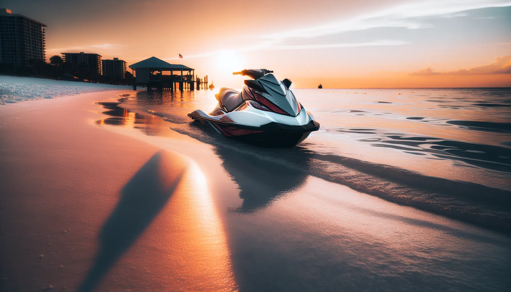
Treasure Island sits on a slender barrier island between the Gulf and Boca Ciega Bay, and its shallow, sandy flats are exactly what makes it a jet ski destination. Everyone knows the crowded Gulf-side beach and the busy sandbar off Bunces Pass, but the calmer, lesser-known flats tucked around Blind Pass, Sunset Beach, and the back-bay spoil islands reward riders who understand tides, shallow-water navigation, and Florida law.
In this guide you'll learn how these sandbars form and why their exact shapes shift, how to time a trip around the tides so a bar is actually exposed when you arrive, how to approach shallow water without grounding your personal watercraft (PWC), and the specific Florida rules that apply the moment you throttle up. Just as important, you'll learn how to enjoy these fragile spots without damaging seagrass or disturbing the wildlife that makes them special.
Before you ride: Anyone born on or after January 1, 1988 must carry a Florida Boating Safety Education Card to operate a vessel of 10 horsepower or more, and PWC operators must be at least 14 years old. Our Florida boating safety course covers the shallow-water and navigation skills these flats demand.
What Makes Treasure Island a Sandbar Paradise
Treasure Island's appeal comes from geography. The island shelters a network of grass flats, tidal passes, and dredge-created spoil islands inside Boca Ciega Bay, while the Gulf side offers wide, gently sloping sand. That combination produces the two things sandbar seekers want most: shallow water that warms quickly and clear water that turns turquoise on a calm, sunny day.
Because much of this water is only knee- to waist-deep at low tide, it stays protected from the open-Gulf chop that builds by afternoon. Dolphins work the pass edges, rays glide over the flats, and wading birds patrol the exposed sand. For a jet skier, it's a place to slow down, anchor, and swim rather than race — which is exactly why the quieter bars are worth seeking out over the party scene at the main sandbar.
The trade-off is that shallow, dynamic water is unforgiving of mistakes. A bar that's swimmable at low tide is invisible at high tide, currents rip through the passes, and seagrass beds are easy to damage and slow to recover. Skill and preparation are what separate a great day from a stranded PWC or a citation.
How Tampa Bay Sandbars Form and Shift
Sandbars around Treasure Island are not permanent landmarks — they are moving deposits of sand shaped by water in motion. Understanding the forces behind them is the difference between reading the water and guessing.
The forces at work
- Tidal flow through the passes. Blind Pass and John's Pass funnel enormous volumes of water in and out twice a day. That current scours channels and drops sand where it slows, building and reshaping bars near the pass mouths.
- Longshore drift. Waves striking the Gulf beach at an angle move sand along the shoreline, feeding and starving bars over the season.
- Storms. A single tropical system or strong winter cold front can flatten one bar and build another in a weekend.
- Dredging and spoil. The Intracoastal Waterway and channels are periodically dredged, and the removed material formed many of the small spoil islands and back-bay flats that now hold birds and shells.
Why exact "secret coordinates" don't stay accurate
Because these forces are constant, any GPS pin you copy from a website is a starting point, not a guarantee. A bar can migrate dozens of yards, split, or submerge between one season and the next. Treat published locations as general zones, verify with your own eyes and depth sounder, and never bet your hull on a coordinate. Local knowledge and current observation beat a stale waypoint every time — which is one more reason the boating-education fundamentals of reading water and charts matter so much.
Where to Find Treasure Island's Quieter Sandbars
Rather than chasing exact pins, learn the general areas that consistently hold sandy shallows, then scout them on the day.
Sunset Beach flats (south end)
The southern tip of Treasure Island near Sunset Beach faces Blind Pass and offers protected, shallow water that's often calmer than the exposed Gulf front. Approach from the bay side at idle, watch the color change from blue-green to pale sand, and anchor in slightly deeper water before wading in. This area sees residents and small boats, so keep noise down and give homes a wide berth.
Blind Pass edges
Blind Pass, the inlet between Treasure Island and St. Pete Beach, builds sandy shoals along its edges where the current drops its load. The water clarity here can be exceptional, but the pass itself carries strong tidal current and boat traffic. Stay out of the marked channel, never anchor in it, and be honest about your experience level before venturing near moving water.
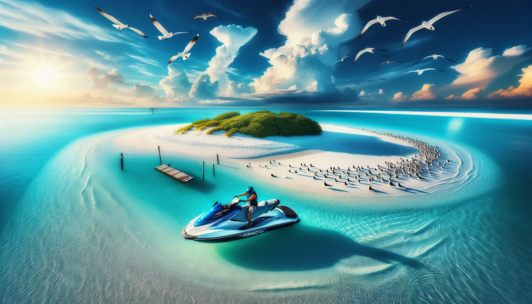
Back-bay spoil flats
Inside Boca Ciega Bay, dredge-created spoil islands and their surrounding flats offer multiple small, sheltered bars away from the Gulf crowds. These spots are quieter and more forgiving of wind, but they sit near seagrass beds and manatee habitat, so idle speed and careful anchoring are essential.
Toward Bunces Pass and beyond
South toward Bunces Pass and Shell Key, the flats open into a preserve-quality area rich with birds and marine life. It's beautiful and popular on weekends. If you ride here, know the posted protection and idle zones before you go — Shell Key is a managed preserve with sensitive nesting areas.
For the ground rules on where you can legally beach and set an anchor around the island, read our companion guide, beaching your jet ski in Treasure Island. And if you're renting rather than bringing your own machine, our Treasure Island jet ski rental guide covers operators, requirements, and launch points.
Timing Everything Around the Tides
Tides are the single most important variable in sandbar hunting. A bar that's a sun-drenched island at low tide is open water an hour later. Get the timing wrong and you either can't find the bar or you strand yourself on it as the water drops.
The basics of local tide timing
Treasure Island's tides do not match Tampa Bay's main station exactly — water inside Boca Ciega Bay lags the open Gulf, and the two passes complicate the picture further. Always pull a tide prediction for a station close to your launch and add a mental buffer for wind, which can push water levels noticeably higher or lower than predicted.
- Falling tide generally brings the clearest water as flats drain.
- Low tide exposes the most sand — plan to arrive on the falling tide before the low.
- Spring tides (around the full and new moon) produce the biggest swings and expose the most bar.
- Rising tide covers the sand again and is better for swimming than for standing.
Watch the tide turn against you
The classic mistake is anchoring a PWC on a falling tide and swimming while the water drops out from under it. Reposition your machine as the tide changes so you don't have to drag it across sand or wait hours for water to return. For a deeper look at reading local patterns and the apps worth trusting, our neighbors up the coast wrote a thorough primer on reading tides for Gulf-coast boating that applies directly here.
Seasonal rhythm
Spring and fall generally deliver the clearest, calmest water and thinner crowds than the summer peak. Summer brings warm water but reliable afternoon thunderstorms — ride early and be off the water before storms build. Winter water is cooler and clearer, and it's also prime manatee season, which means extra caution in slow-speed zones.
Reading the Water and Approaching Safely
Finding a bar is one skill; getting to it without grounding, and getting off it safely, is another. Shallow water hides its hazards, so a disciplined approach matters.
Read the surface
Learn to see depth from the seat. Dark water is deeper; pale, milky green or tan water is shallow sand. Ripples or breaking wavelets over otherwise calm water signal a shoal. Birds appearing to stand "in the middle of the water" are standing on a submerged bar. Polarized sunglasses cut the glare and let you read color changes and even individual grass patches.
Approach discipline
- Circle first at idle. Never charge a bar at speed. Make a slow pass around the area to note where the water shallows.
- Find the deepest approach and mark it mentally or on GPS so you have a known way in and out.
- Come in slowly, into the wind and current for control.
- Plan your exit before you commit — know where the deep water is when you want to leave.
Protect the machine and yourself
A PWC's jet intake sits low and will suck up sand, shells, and grass in inches of water, which can clog the pump or damage the impeller. Shut the engine down and float or walk the machine in the shallowest stretches rather than powering through. Do the stingray shuffle when you step off — slide your feet along the bottom instead of stepping down. And keep the engine cut-off lanyard attached to your wrist or PFD whenever the engine is running, as Florida law requires on PWC. If your machine does quit and won't restart, our step-by-step guide to a jet ski breakdown on the flats walks through exactly what to do.
Florida PWC Laws Every Sandbar Rider Must Know
The flats feel remote, but Florida boating law applies the same as it does in a busy inlet. Knowing the rules protects you from citations and, more importantly, from the accidents these rules exist to prevent.
- Education card. Operators born on or after January 1, 1988 must carry a Florida Boating Safety Education Card for any vessel of 10 HP or more.
- Minimum age. No one under 14 may operate a PWC in Florida, and renters must generally be at least 18.
- Daylight only. PWC may not be operated from a half-hour after sunset to a half-hour before sunrise — there is no night riding, period.
- Engine cut-off device. The lanyard-style cut-off switch must be attached to the operator whenever the PWC is underway.
- Life jackets. Everyone aboard a PWC must wear a Coast Guard-approved life jacket, and children under 6 must wear one on any vessel under 26 feet that's underway. See our full Florida life jacket requirements guide for the details.
- Boating under the influence. BUI applies at a blood-alcohol level of 0.08 (0.02 for operators under 21), and it carries the same seriousness as a DUI.
- Reckless operation. Weaving through traffic, jumping wakes too closely, and spraying other vessels or swimmers are all cited as reckless operation.
For the complete picture, our Florida jet ski and PWC laws guide breaks down age, hours, and safety rules in one place, and if you plan to ride near the passes, brush up on how the 100-foot rule governs speed near other vessels, docks, and swimmers.
Protecting the Ecosystem and Sharing the Space
These flats are alive, and their beauty is fragile. Careless use is how a hidden gem becomes a scarred, avoided spot.
Guard the seagrass and slow zones
Seagrass beds are nurseries for fish, food for manatees, and slow to recover from prop or jet scarring. Idle through grass, avoid it entirely when you can, and never blast across it to save time. Much of Boca Ciega Bay falls under manatee and slow-speed protection — know the zones before you ride, and read our guide to Florida manatee zones and speed regulations so a "no-wake" sign never catches you off guard. The wider Tampa Bay no-wake zone map is worth reviewing before any local trip.
Keep wildlife wild
Watch dolphins, rays, and shorebirds from a respectful distance and never feed or chase them. Nesting shorebirds are especially vulnerable in spring and summer — give posted or roped-off areas a wide berth. Around divers-down flags, stay clear by roughly 300 feet in open water and 100 feet in channels, and slow to idle inside those distances.
Leave it better than you found it
Pack out everything you bring in, including bottle caps and food scraps. Use reef-safe sunscreen, keep music at a level your neighbors on the next bar don't have to endure, and give other groups room. The unwritten etiquette of the sandbar is simple: first arrivals earned the best spot, help anyone who's stranded, and leave no trace behind.
Emergency Preparedness and What to Pack
Shallow-water trips feel casual, but the flats are still open water where things go wrong quickly. A little preparation keeps a hiccup from becoming a rescue.
Safety and navigation:
- A properly sized anchor with plenty of line
- A waterproof phone case and, ideally, a VHF radio
- A basic first-aid kit
- GPS or a charting app such as Navionics for depth reference
- Polarized sunglasses and plenty of sunscreen
Comfort and fun:
- Extra drinking water — more than you think you'll need
- Non-glass containers only
- A floating cooler and shade
- Snorkel gear for the clear spots
If you run aground
- Shut the engine off immediately — do not try to power off the sand, which drives water and grit through the pump.
- Check for damage and confirm no one is hurt.
- Float or walk the machine to deeper water; on a rising tide, waiting a short while may float you free.
- Call for advice if you're stuck, and never leave a disabled machine to swim for shore alone.
When you must report an accident
Florida requires you to report a boating accident that involves a death, a disappearance, an injury beyond simple first aid, or property damage of about $2,000 or more. Know that obligation before you ride — it's covered in depth in our Florida boating license requirements guide.
Get Certified Before You Explore
Everything on these flats — reading depth by water color, timing the tide, approaching shallow water without grounding, and knowing which zones are protected — is exactly what a proper boating safety course teaches. Florida's card requirement isn't a formality; it's the baseline knowledge that keeps riders and the ecosystem safe.
Our state-standards online, fully online course lets you study at your own pace and pass a 25-question exam that requires 80% to pass, with unlimited retakes if you don't get it the first time. When you pass, you can print your certificate right away and get on the water.
Start the state-standards online course - $12.99
Conclusion
Treasure Island's quieter sandbars offer something the main beach can't: warm, clear, shallow water where you can shut the engine off, wade in, and watch dolphins work the pass. Reaching them safely takes real skill — reading the water, timing the tide, and respecting the seagrass and wildlife that make these spots worth the trip.
Remember that these bars move, conditions change, and no coordinate replaces your own eyes and a healthy respect for shallow water. Ride within the law, protect the flats, and leave them cleaner than you found them so the next rider finds the same unspoiled water you did.
Ready to explore responsibly? Get your Florida boating license online - $12.99 and put the shallow-water skills these flats demand into practice.